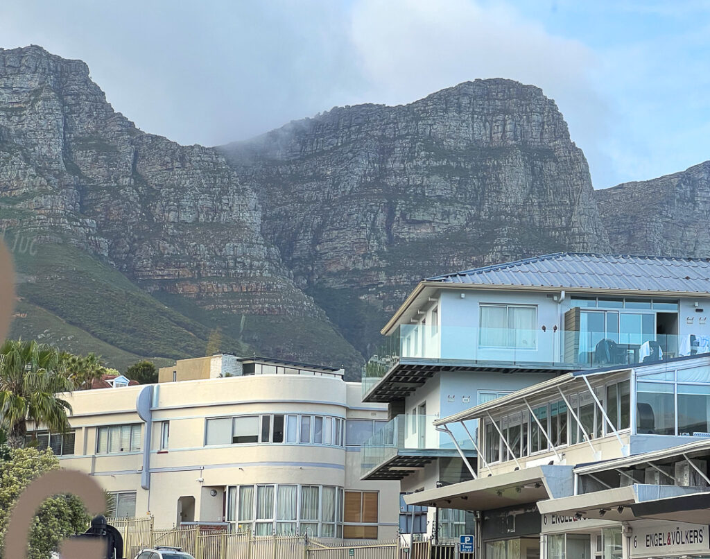
We spent all of today on a tour of the Cape of Good Hope, starting with a drive along the very expensive section of beach from Cape Town to Camps Bay – we hadn’t seen that section of the coast during our pre-tour; I was almost surprised to find myself back in familiar territory.
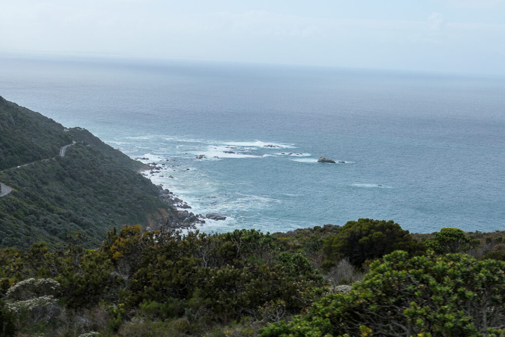
We continued south along the coast past the end of the developed section and began our adventure with a drive on Chapmans Peak Drive. It’s a beautiful (if narrow) toll road, with lookout points which make it easy to take the time to appreciate the scenery.
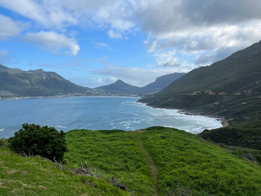
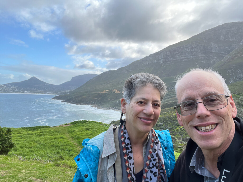
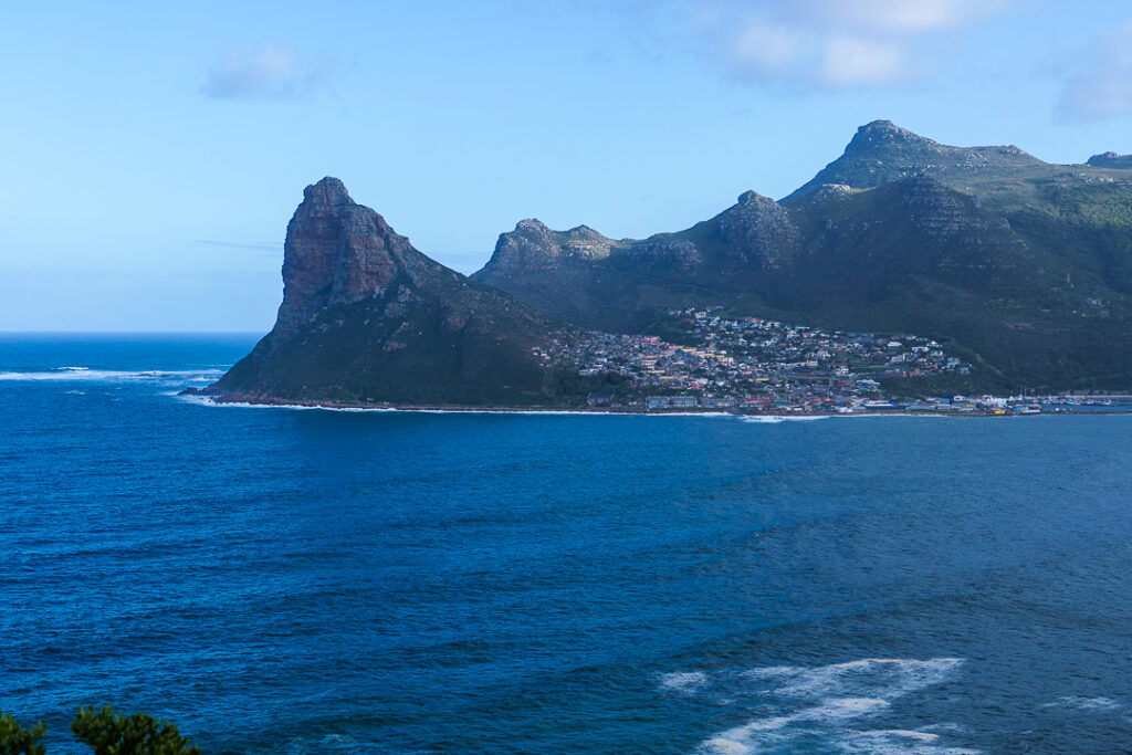
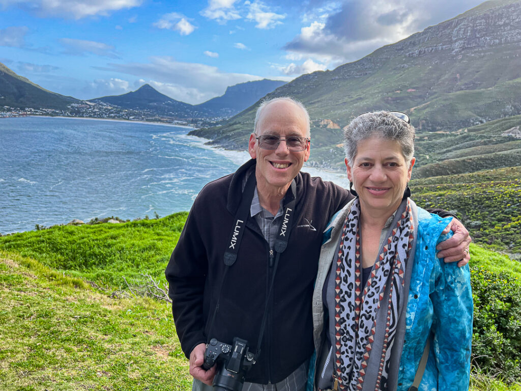
The views from the road itself aren’t bad, either.
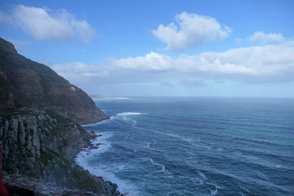
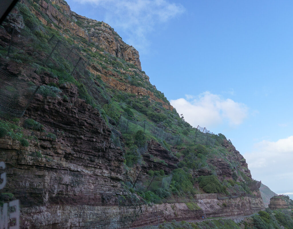
Several people were killed by falling rocks – they’ve now installed nets to try to prevent that from happening again.
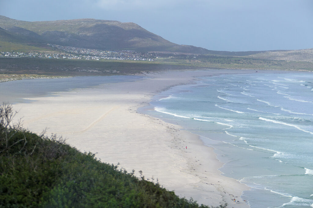
After leaving the toll section of road, we continued south along the M6, passing Long Beach (this is the beach at high tide – I wonder how big it is at low tide!).
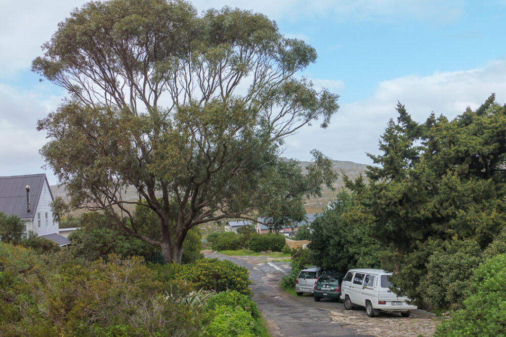
There were a few villages along the way, including Scarborough; I liked the way the streets angle off towards the beach.
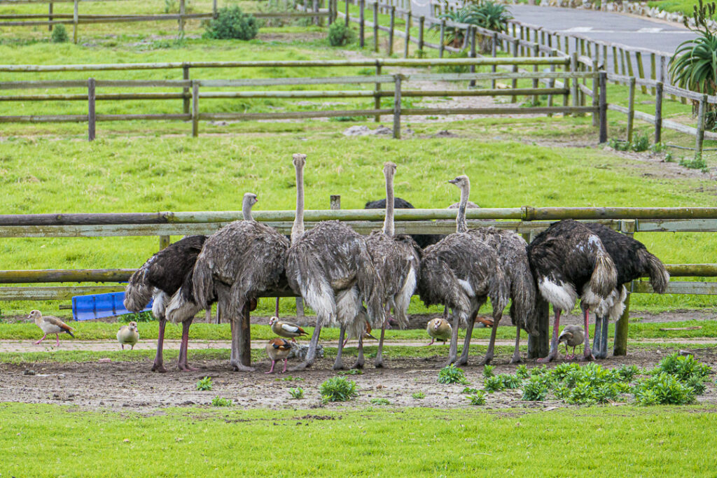
Some of the earliest Jewish settlers to come to South Africa from Eastern Europe started ostrich farms around 1900. All they cared about was the ostrich feathers, which fetched high prices – today’s ostrich farmer uses the entire ostrich!
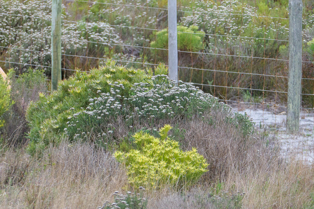
I remember reading Ray Bradbury’s “The Veldt” when I was a kid. I never thought I’d actually see the veldt in reality, but here it was, right beside the bus.
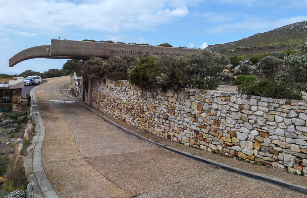
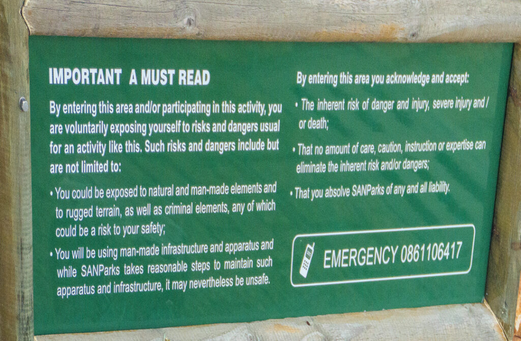
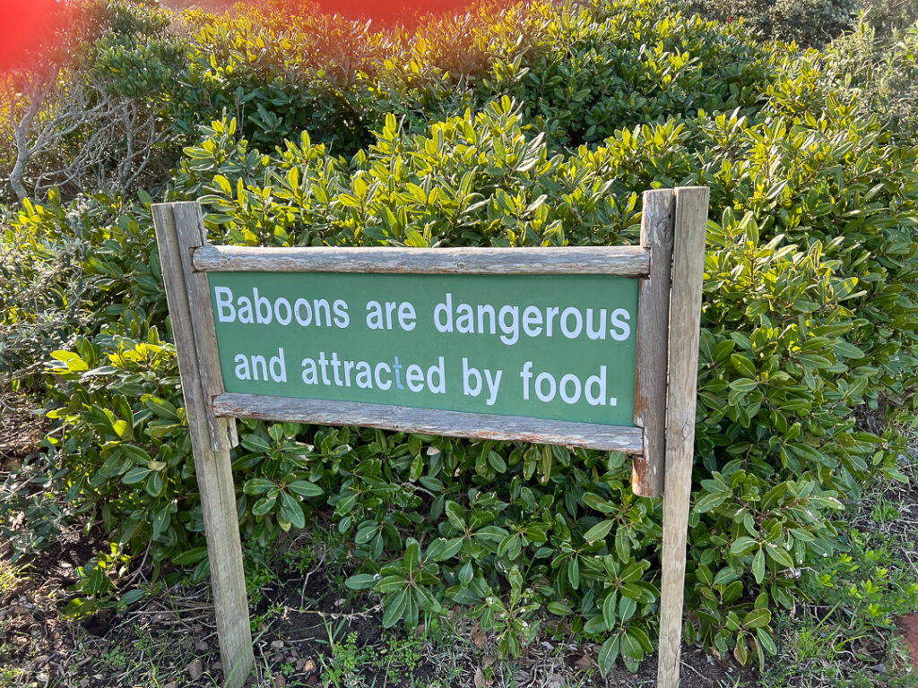
We eventually reached the entrance to the Cape of Good Hope section of the Table Mountain National Park. They are serious about warning people what to expect!
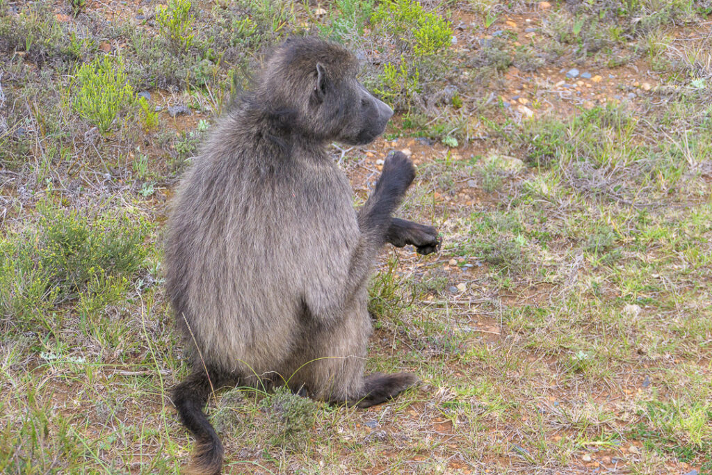
We saw our first baboon a few minutes after entering the park.
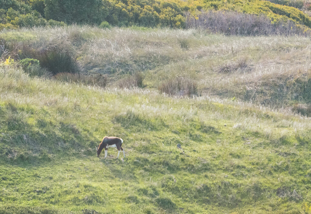
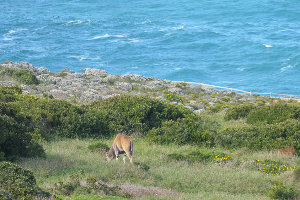
There were eland, too.
There are two monuments to European navigators who had a significant role in the history of the Cape of Good Hope. The monument to Bartolomeu Dias (first European to sight the cape) doubles as a beacon and navigation aid. There’s also a monument to Vasco da Gama, but I didn’t get a good photo of it.
![]()
We got to see more eland on our way to the parking area.
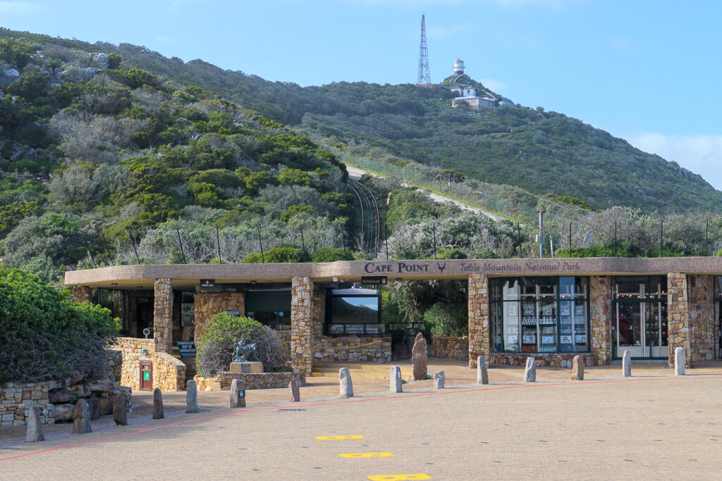
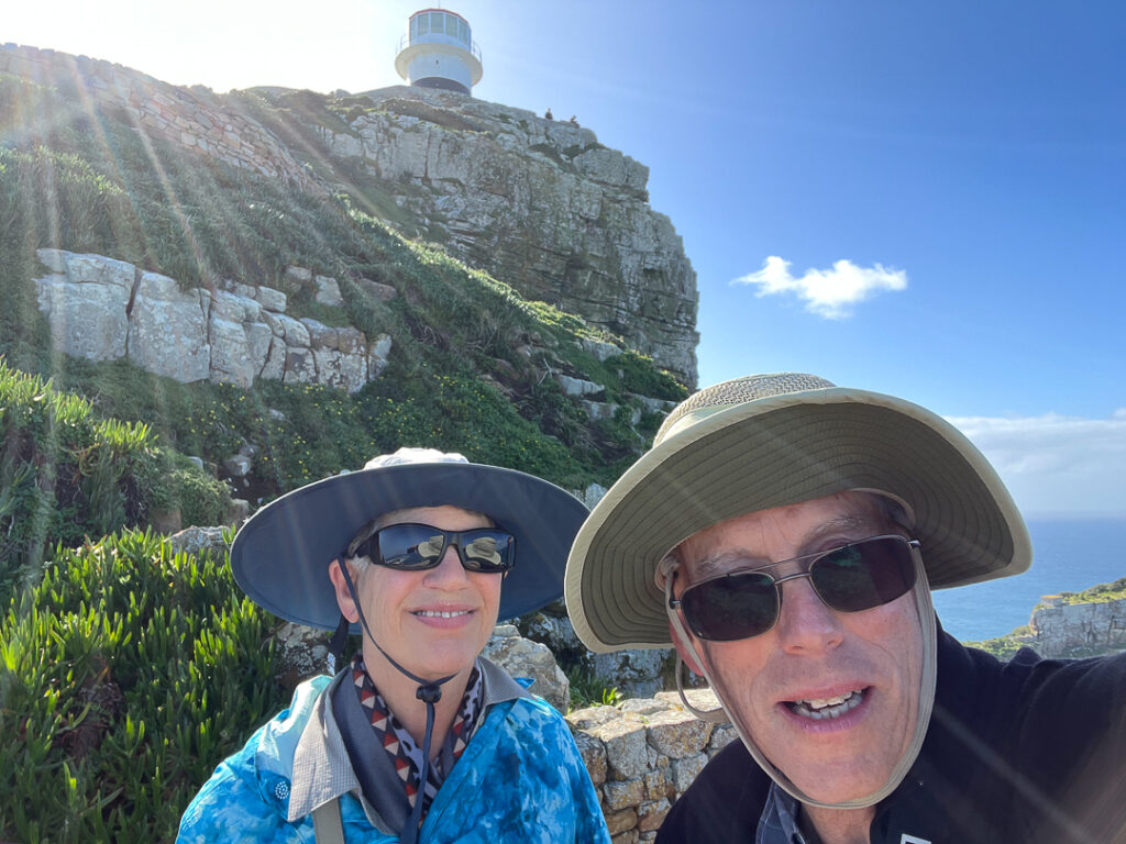
The original plans for the day had us taking the funicular to the lighthouse above the parking area – but there were electrical problems, so we walked up.
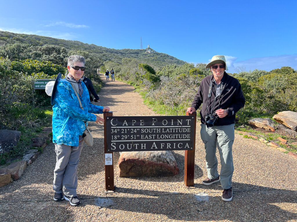
Our guide warned us not to carry food or water to avoid attracting baboons.
The views on our climb were spectacular.
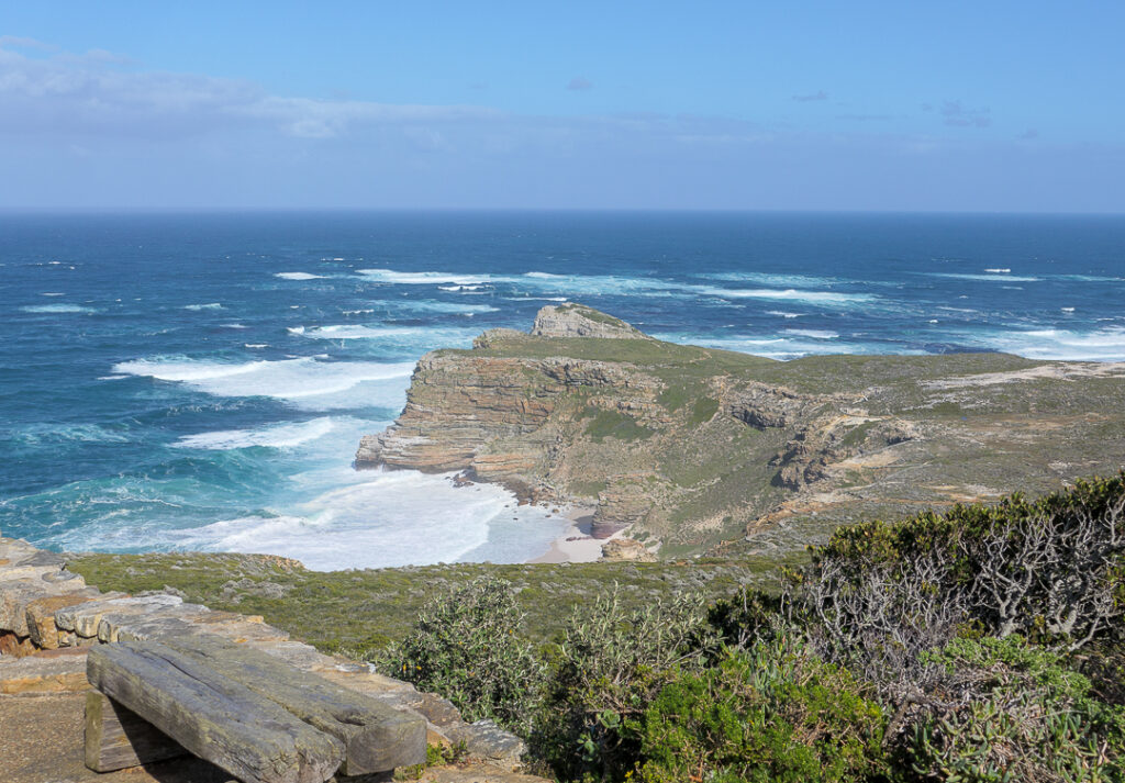
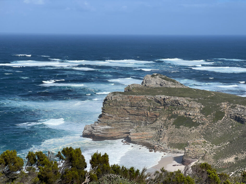
At the top, you could see the Atlantic almost surrounding you. The Indian Ocean meets the Atlantic at Cape Agulhas, about 100 miles away, but there are warm currents from the Indian Ocean here.

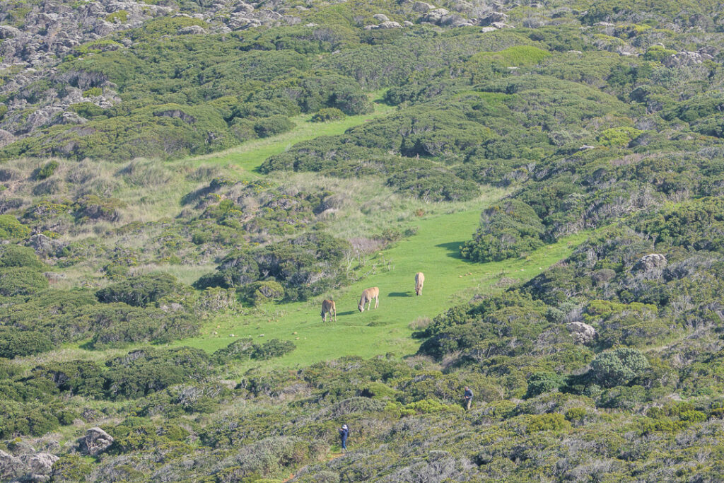
We could see where the eland were grazing from up here.
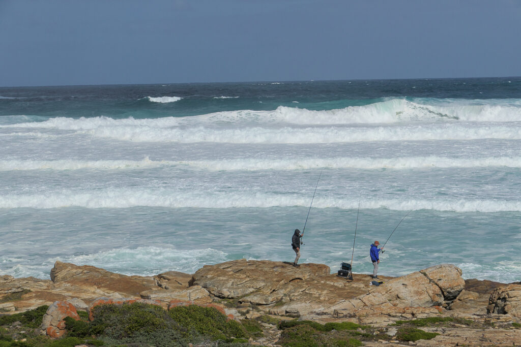
We returned to the bus (by way of the gift shop, of course) to go to the actual Cape of Good Hope a few minutes away. People were fishing just off the road!
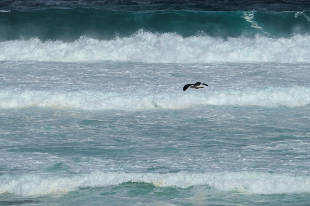
And there were seabirds.
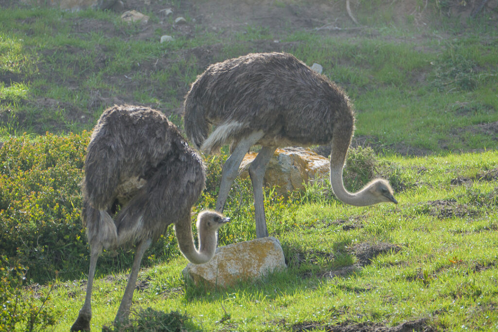
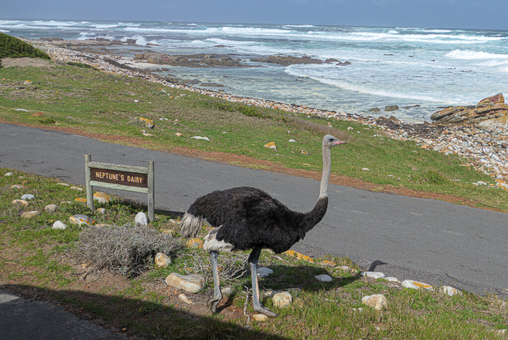
And wild ostriches on both sides of the road – females (brown) on the land side, and males (black) on the beach side.
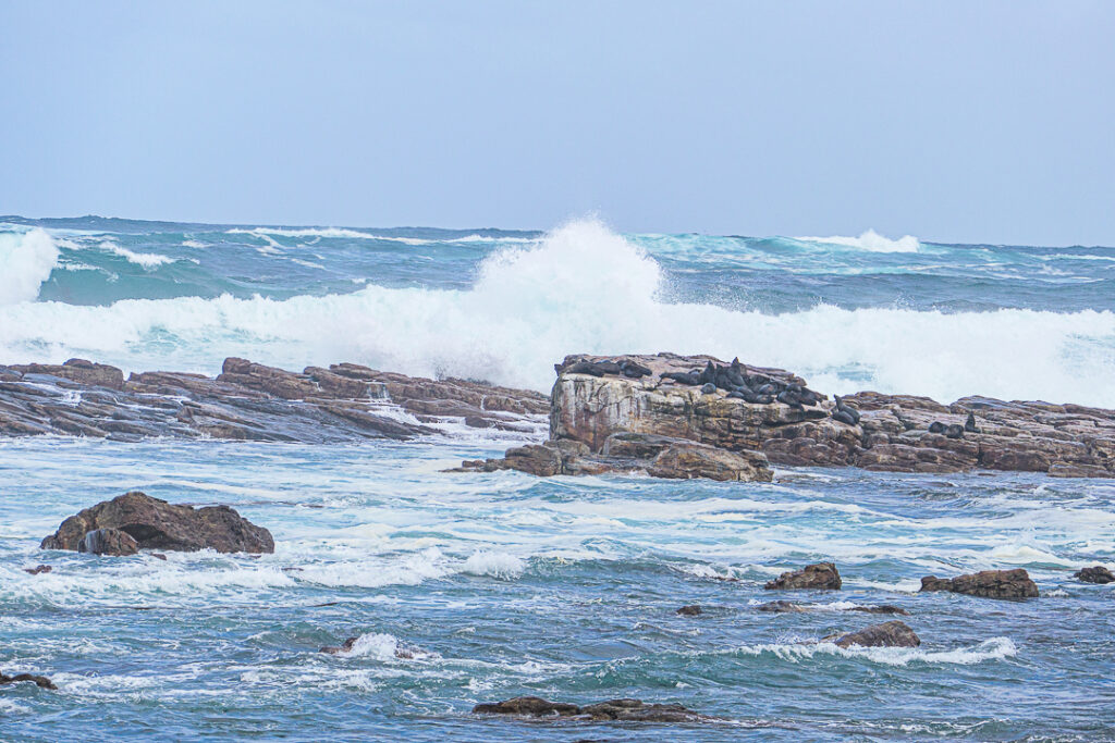
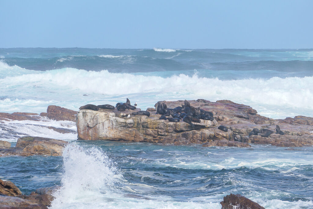
There were seals enjoying the sunshine.
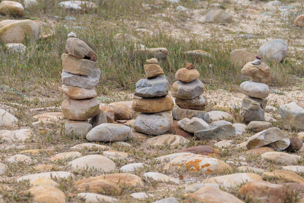
Someone had built a few cairns in the parking lot, probably to amuse tourists.
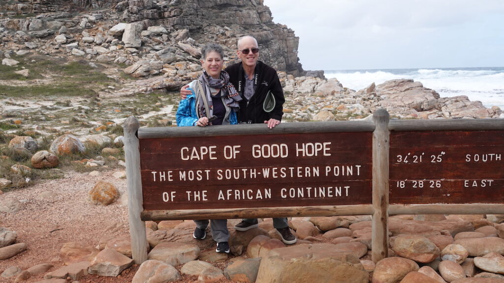
Everyone got their photos taken at the official Cape of Good Hope marker.
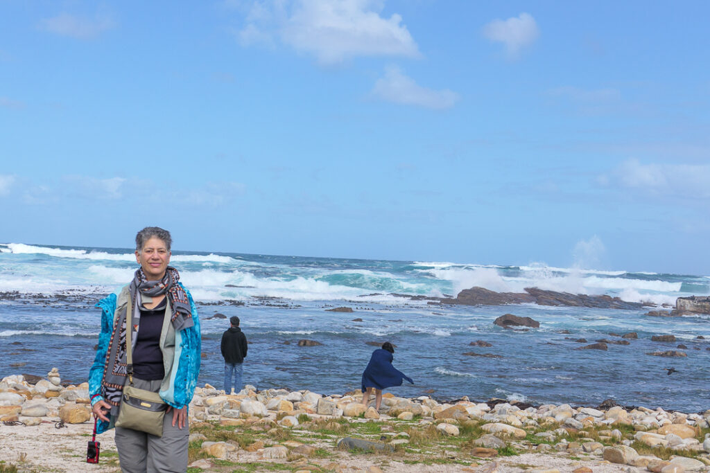
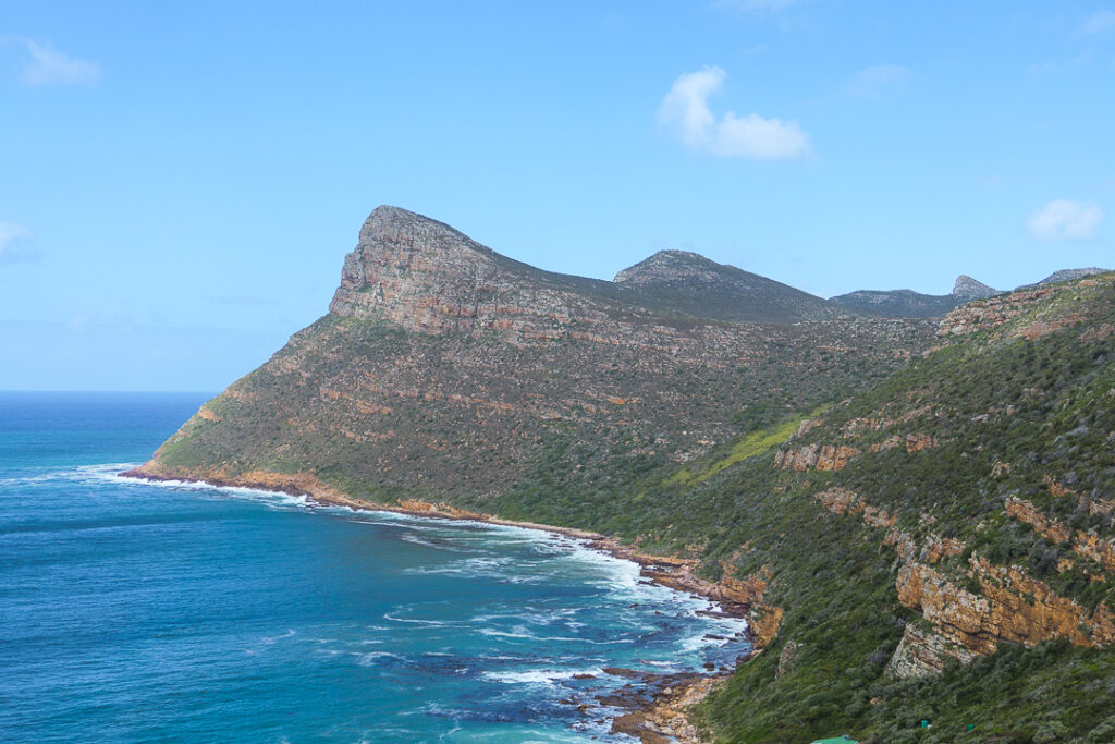
And the view out to sea was outstanding.
Birds had joined the seals on the rocks – I guess they aren’t seal food.
And then it was back to the bus to drive on the False Bay side to our next destination, the penguin colony at Boulders Beach.
A group of African penguins came to Boulders Beach in 1982; before that time, it was a popular beach for humans to swim on, but no more….
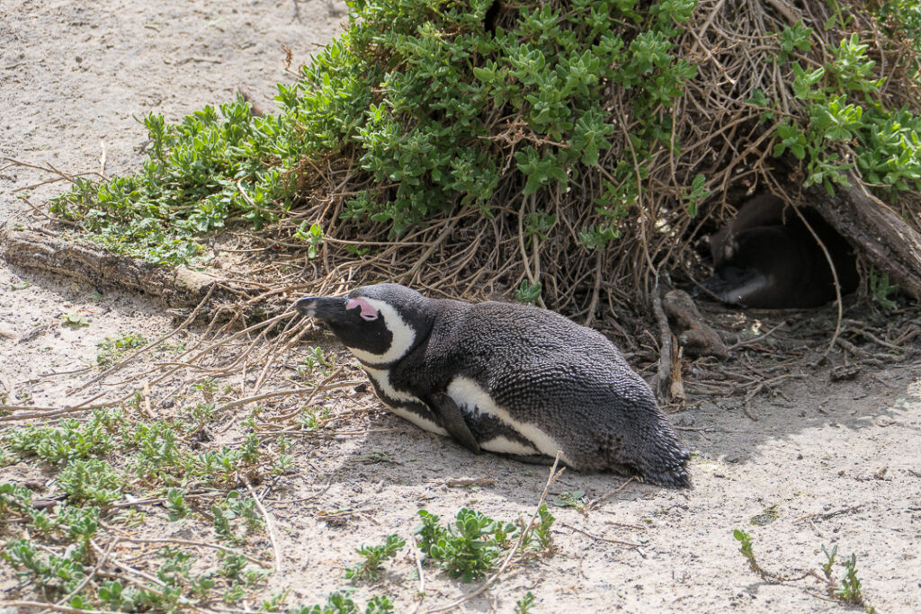
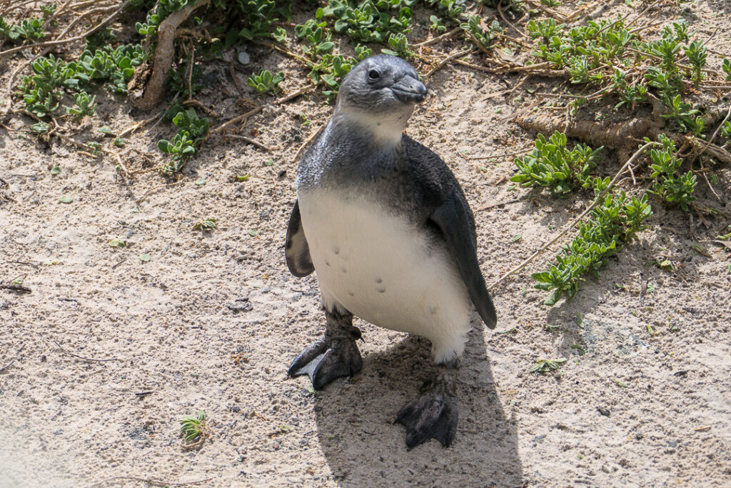
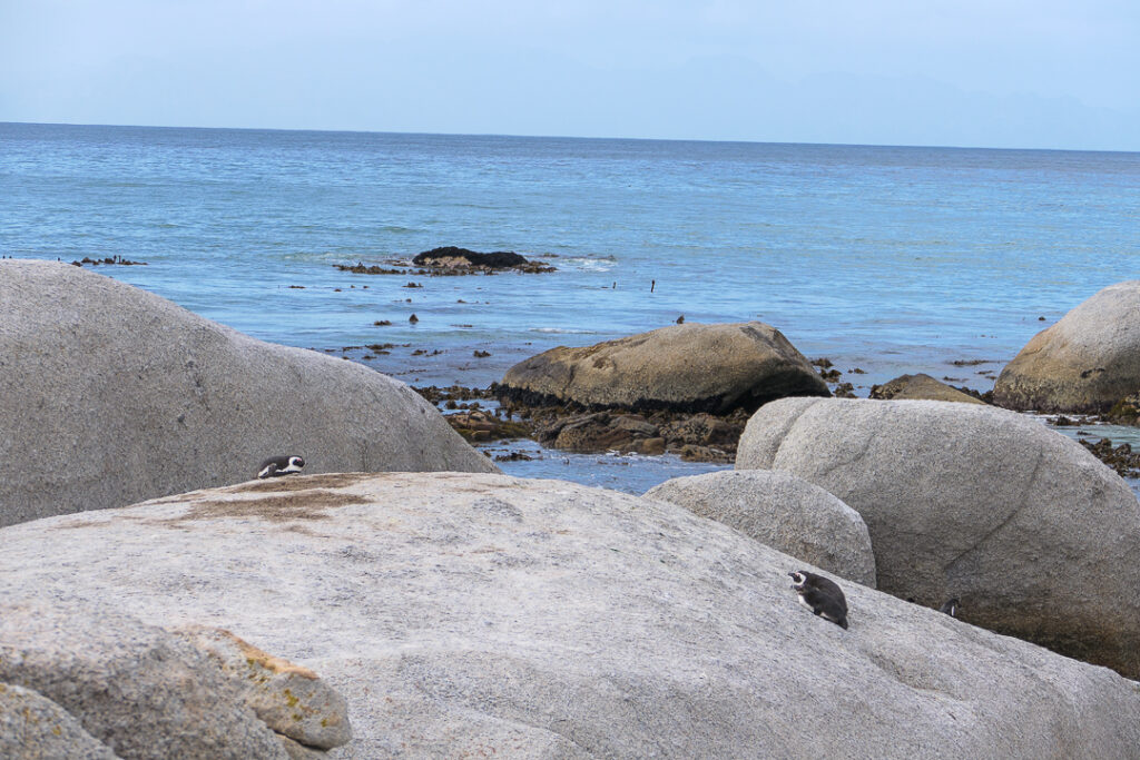
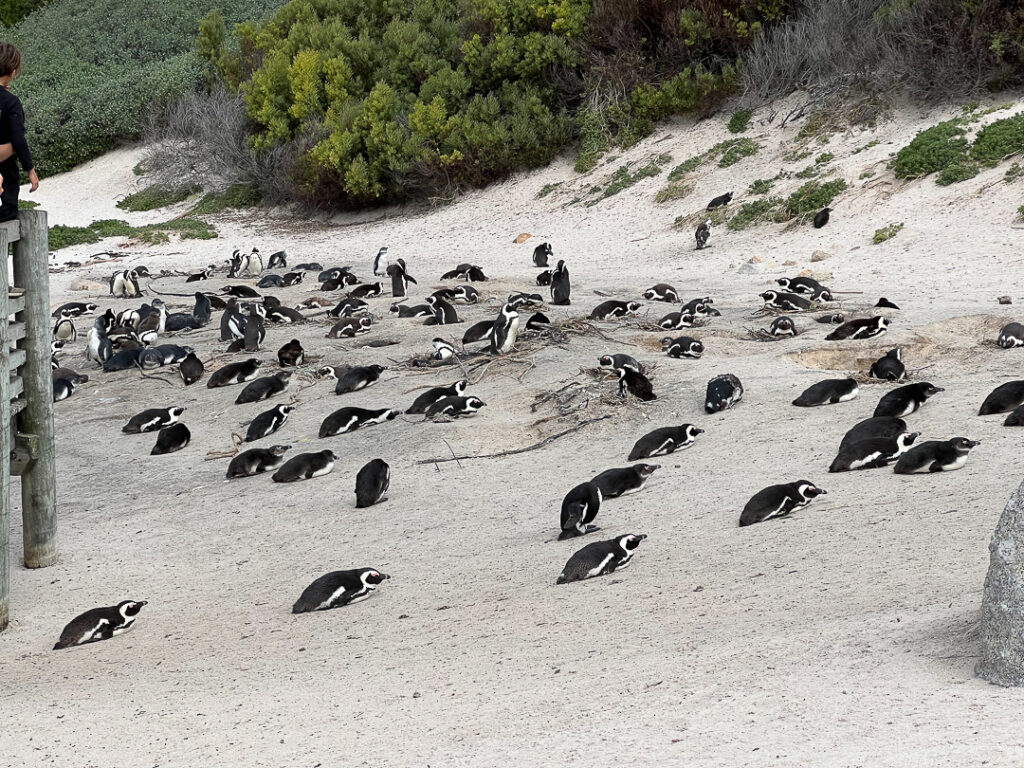
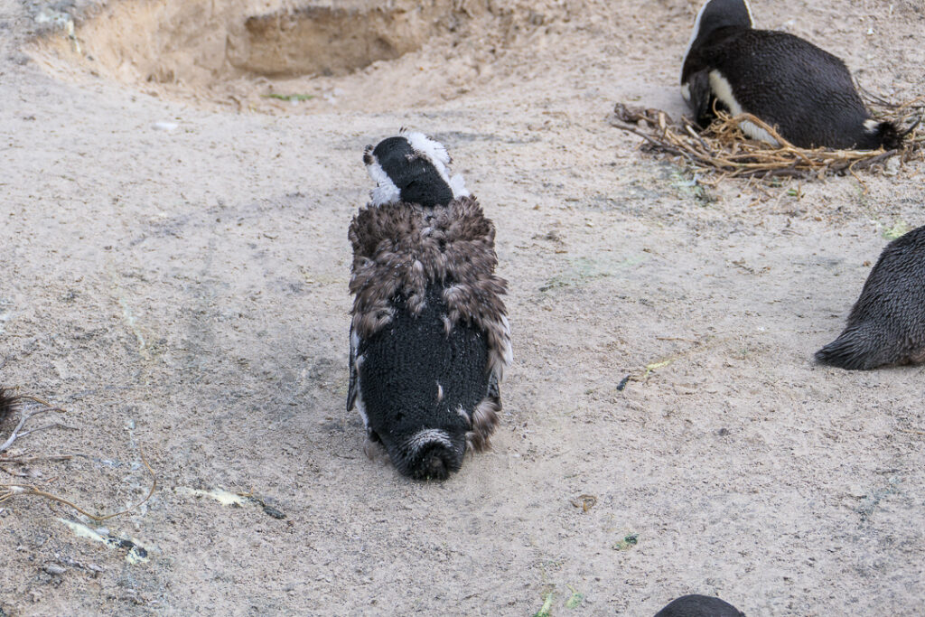
Some of the penguins were finishing their annual molt.
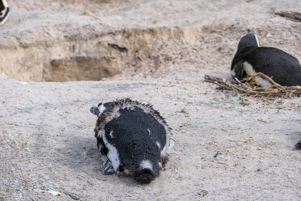
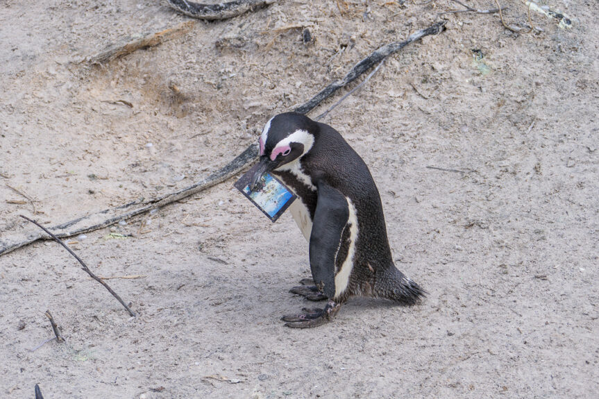
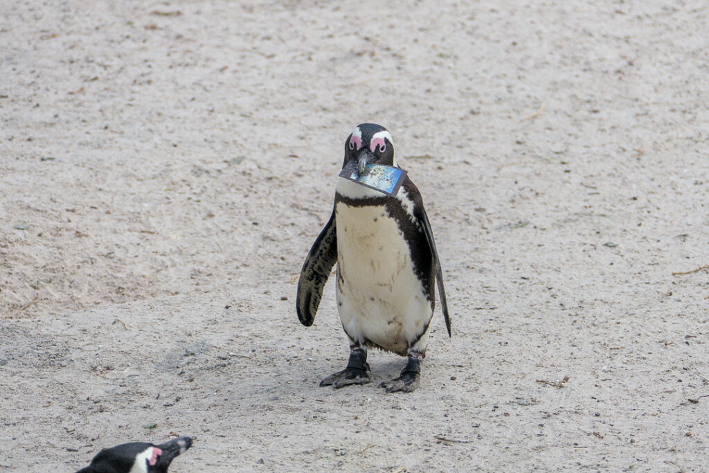
And then there was this guy, who seemed to be up to something!
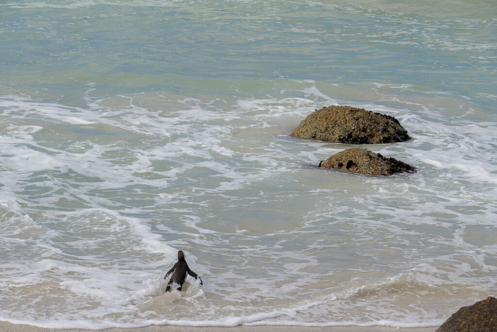
The penguins enjoyed the water, too.
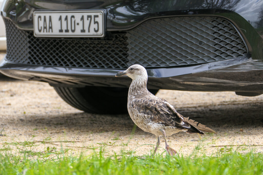
There were other birds besides penguins around, of course, like this one in the parking lot.
We had a late lunch at Harbour House in Kalk Bay. It was very good, and I discovered that I need never order beef tartare again!
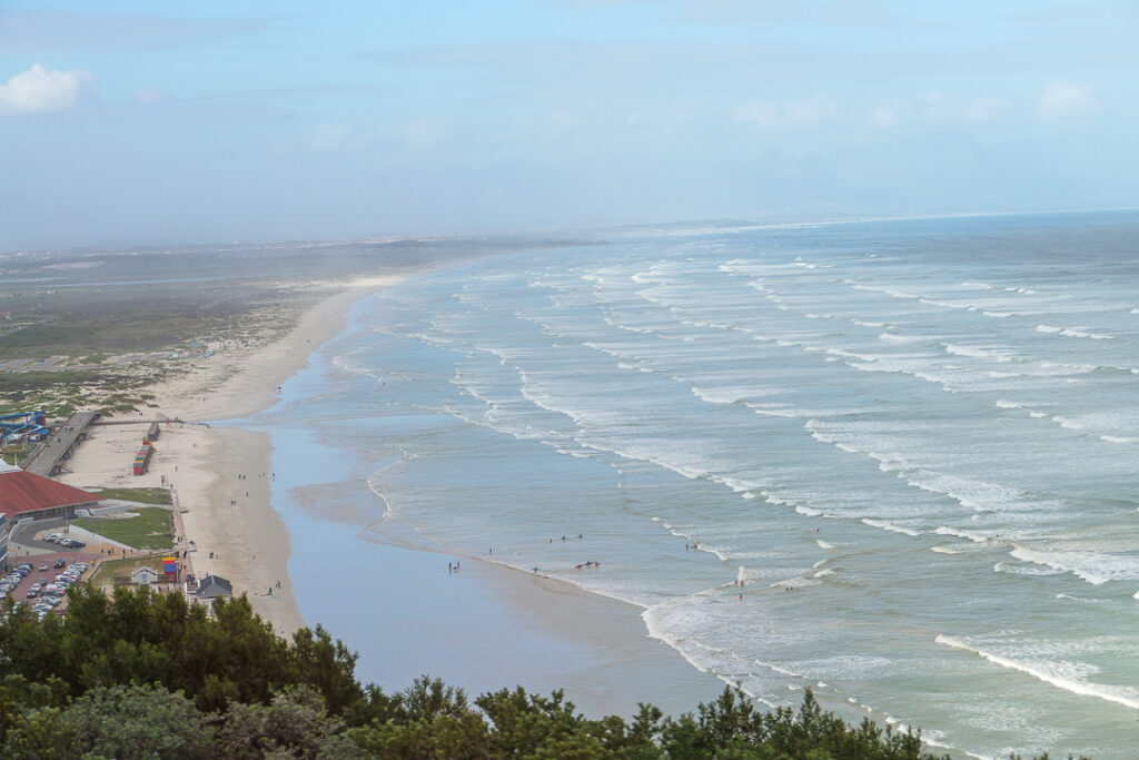
The last photo I’m going to share tonight is of Muizenberg Beach. Our guide said that shark attacks there were the impetus for the creation of the South African Shark Spotters.
We returned to Cape Town and wandered the V&A Waterfront for a while – it had been a busy day!
