Last night of the cruise

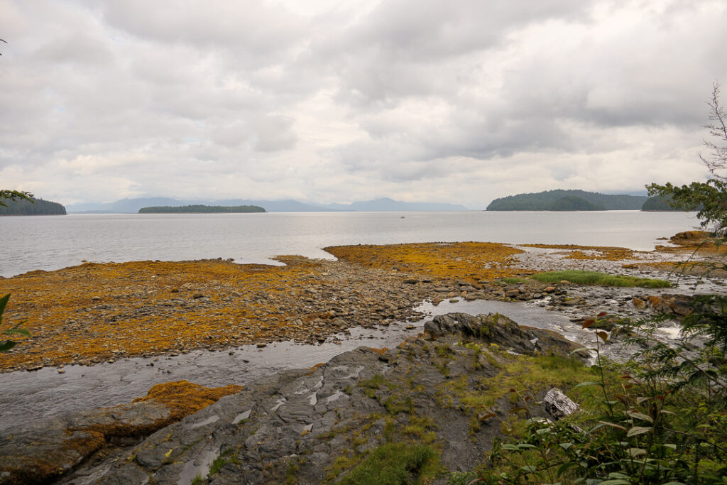
It’s the last night of the cruise; we’re entering the Inside Passage, with the best viewing expected around 7pm (during dinner, of course). I hope to take interesting photos, some of which may even be good – but it’s unlikely I’ll be able to post them tonight. But I can post the current view from our stateroom!

(“Current” is a generous term; it took 15 minutes to upload that one photo. I’ll miss a lot of things from the ship, but I really look forward to land-based Internet!)

Ketchikan Tour

We like booking private tours when we can – it’s nice being with a few friends instead of a busload, and the guides are willing to modify itineraries to better fit our interests. We’d booked one for Ketchikan with Cruin MacGriogair of Ketchikan Tours and were looking forward to it…until he sent an email on Monday saying that he had tested positive for Covid and was self-isolating. He also recommended another guide in town who was free and put us in touch, which was real service!

So we had a private tour with Tracy Wolf of Wild Wolf Tours instead, and it was great. She drove us out to Totem Bight State Park and gave us an interpretive tour of the totem poles there; the park had been built by the CCC during the Depression and has been well-maintained since, with lots of input from Native groups. The poles and the Clan House were built specifically for the park.

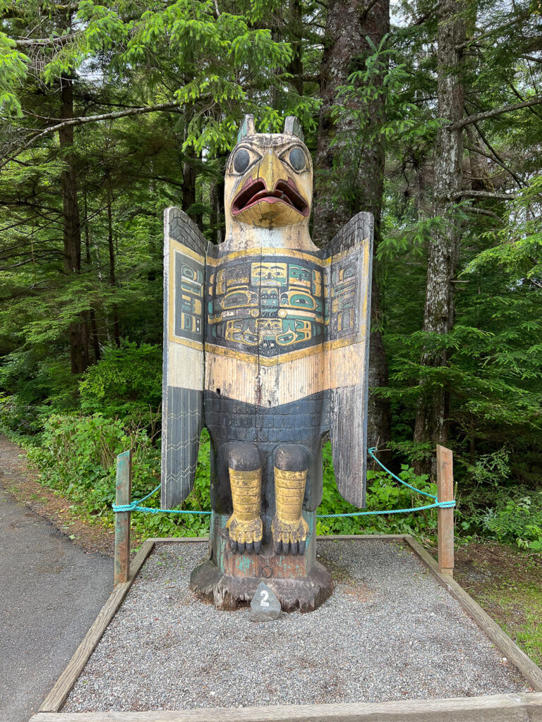
We began with the Eagle Grave Marker, copied from an original in the Haida village of Hokan.
We stopped by the Totem Pole Restoration Building; there were a few poles in the process of being restored.
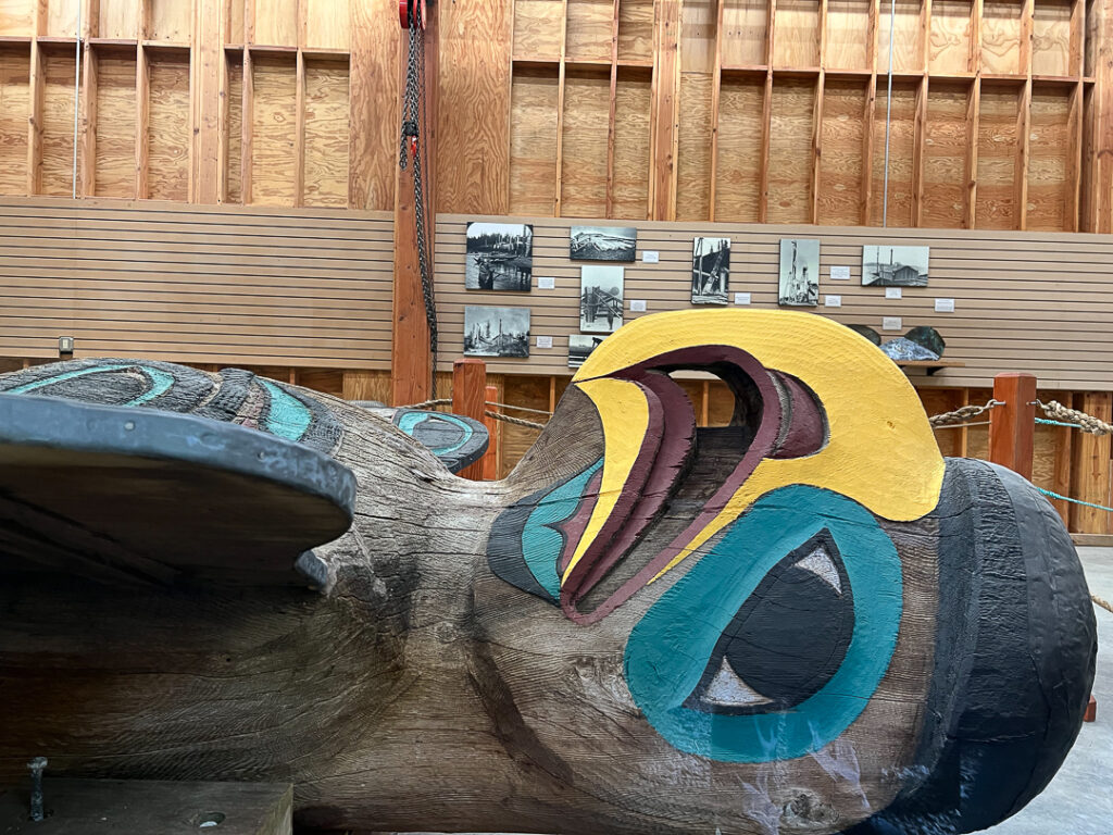
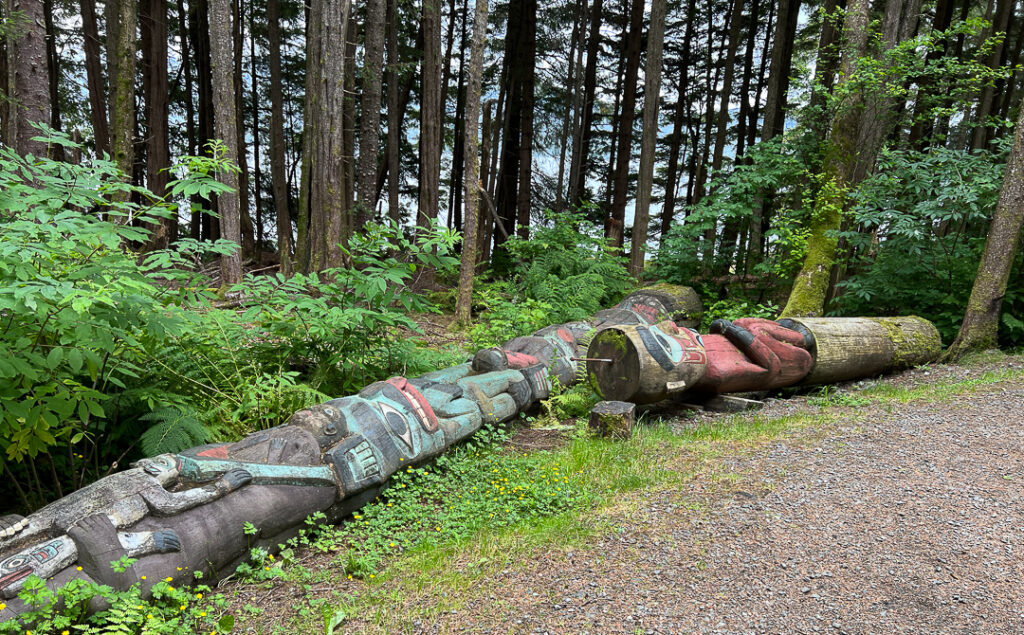
Totem poles typically have a 50 to 75 year lifespan; when they fall, they are allowed to decay in place.
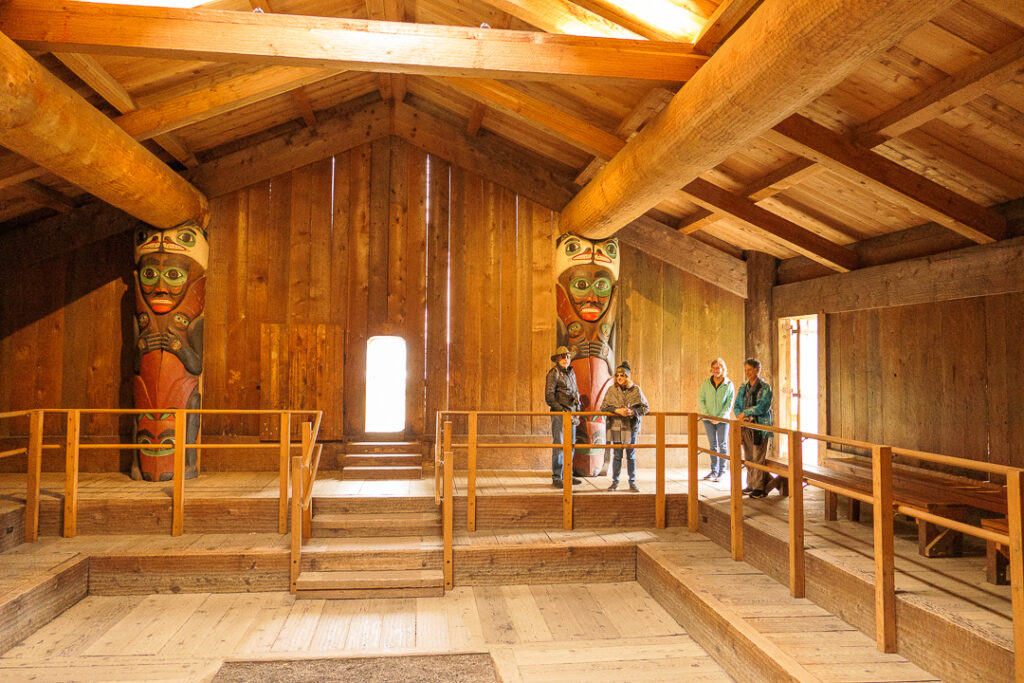
There’s a replica of a Clan House which we were able to see from the inside.
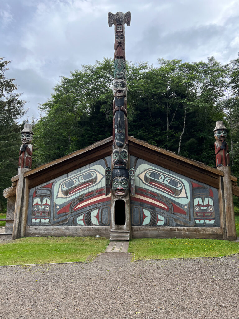
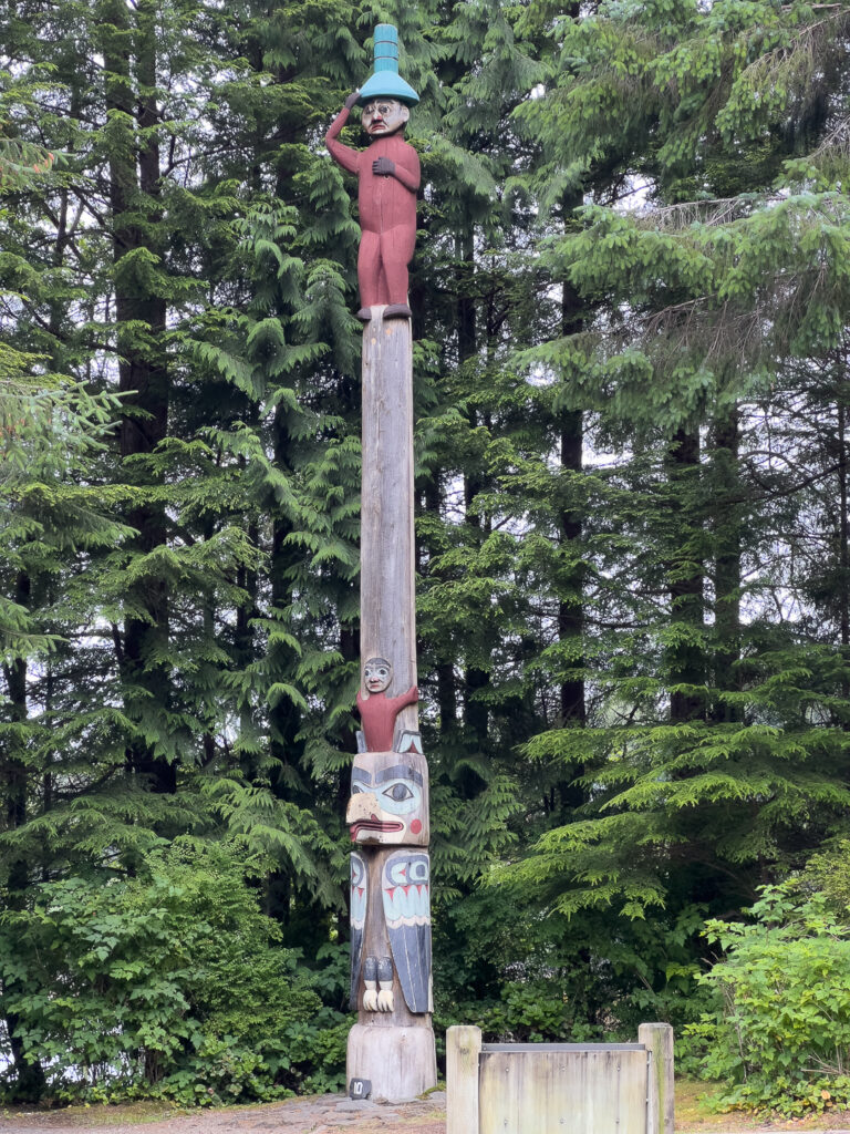
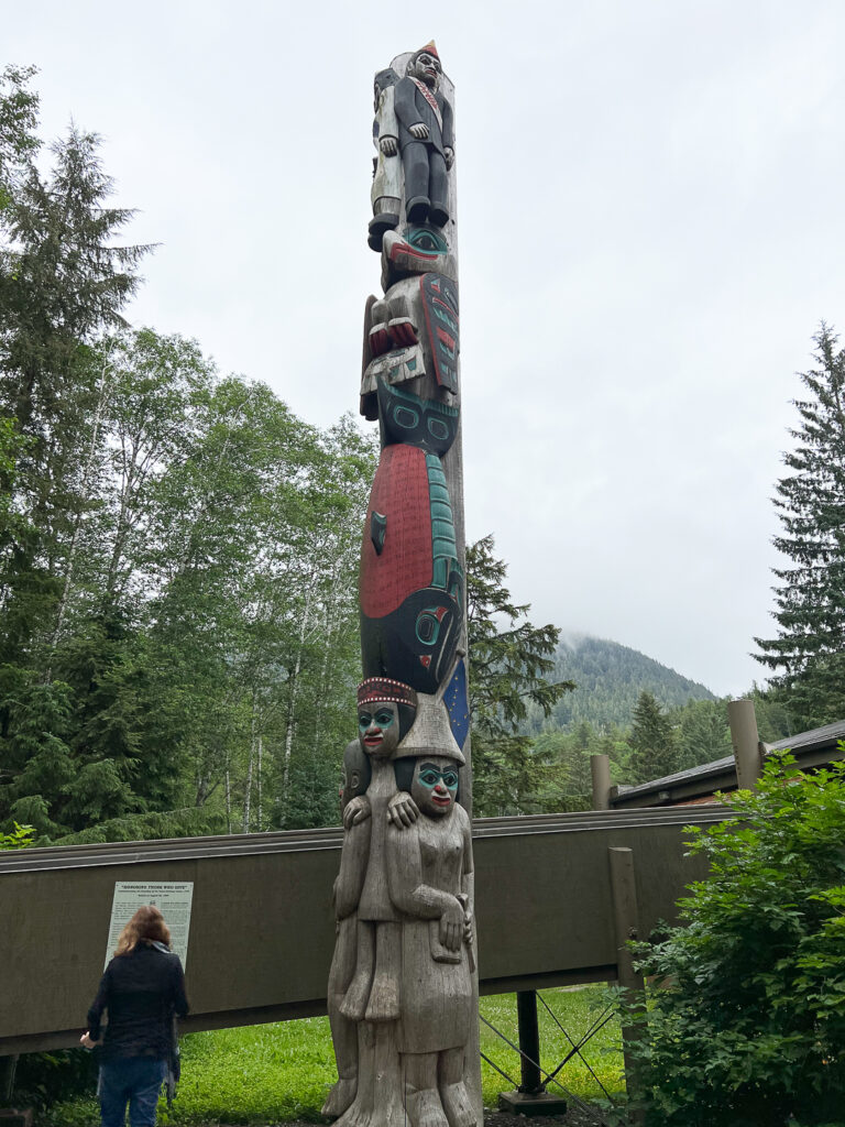
Here’s one more totem pole for the road; this one is “Raven at the Head of Nass”.
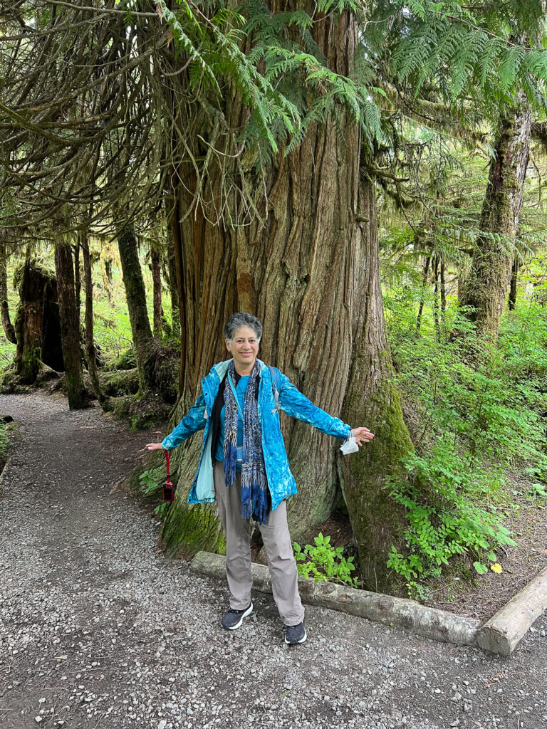
Tracy then drove us to the Settlers Cove State Recreation Site and the Lunch Creek Trail. It’s at the end of the road – literally; the North Tongass Highway ends at the parking area. It’s lushly wooded.
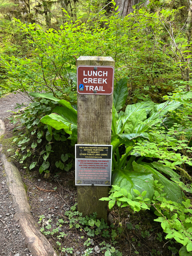
I was surprised to learn that trappers are able to set traps in the recreation site.
We walked part of the trail, seeing waterfalls and the Pacific Ocean.
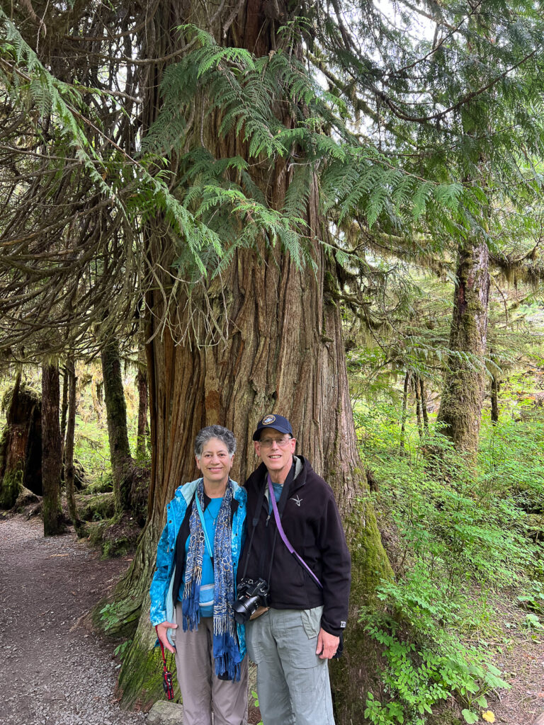
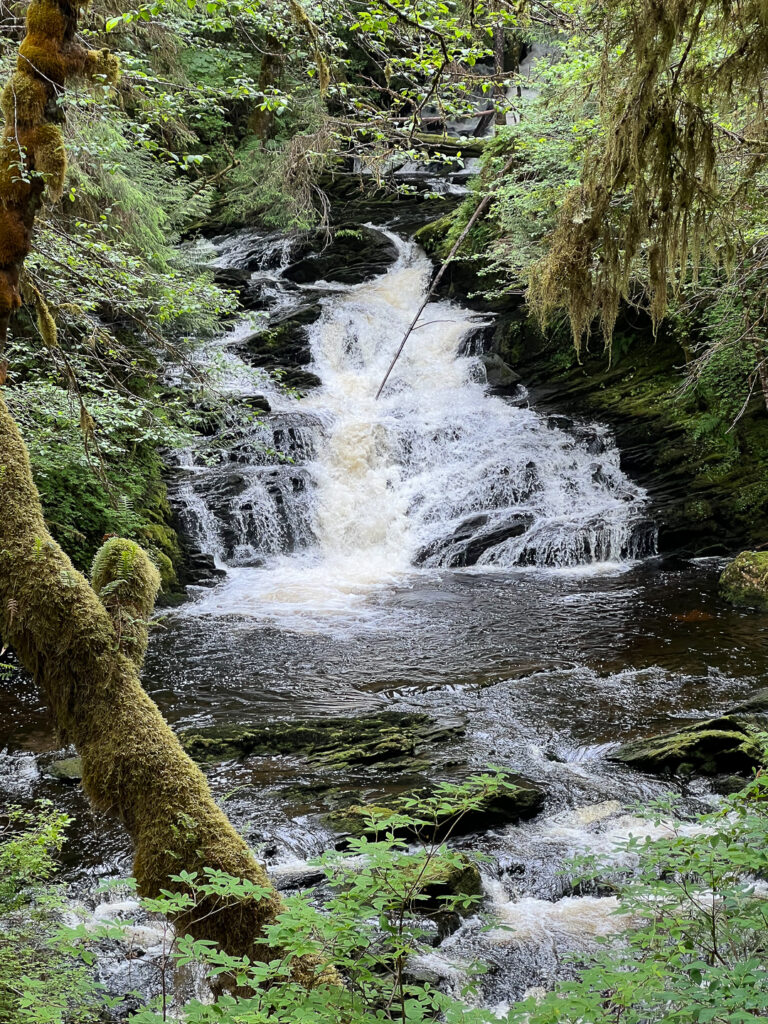
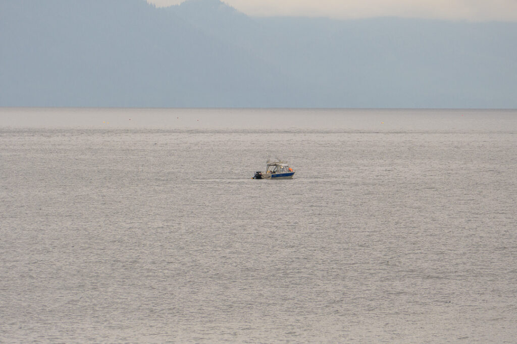
There was a lone fishing boat out on the ocean.
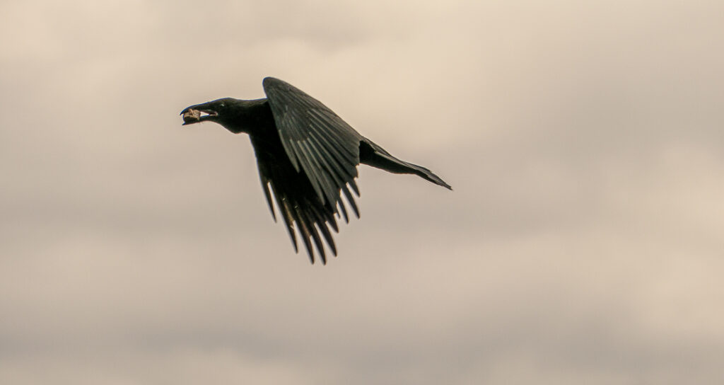
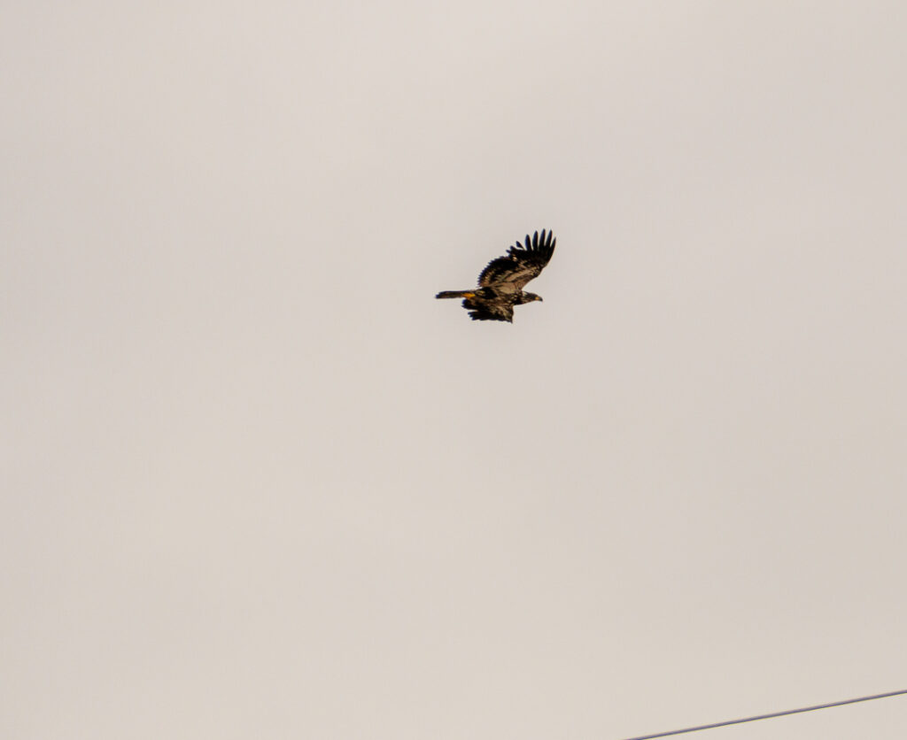
Tracy drove us back to town so we could explore on our own, but just before we got there, she pulled into a parking lot so we could see the eagles and ravens there.
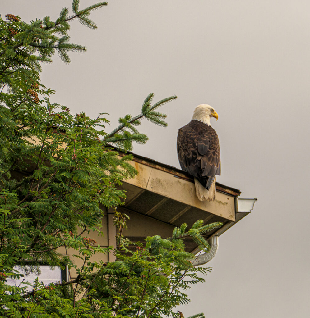
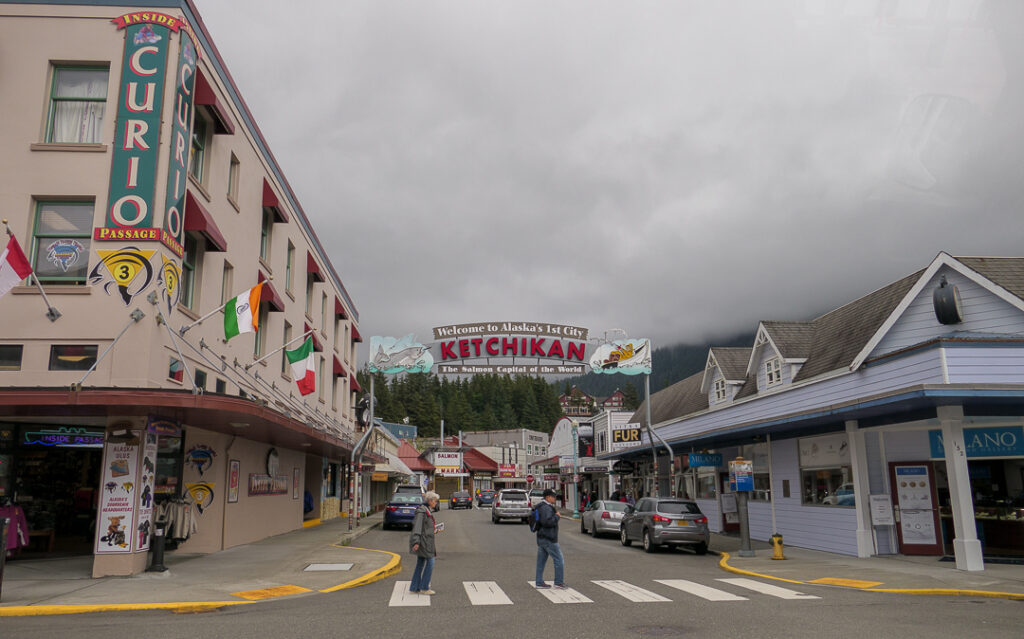
Ketchikan’s two biggest industries are tourism and fishing, and they want them to be synergistic.
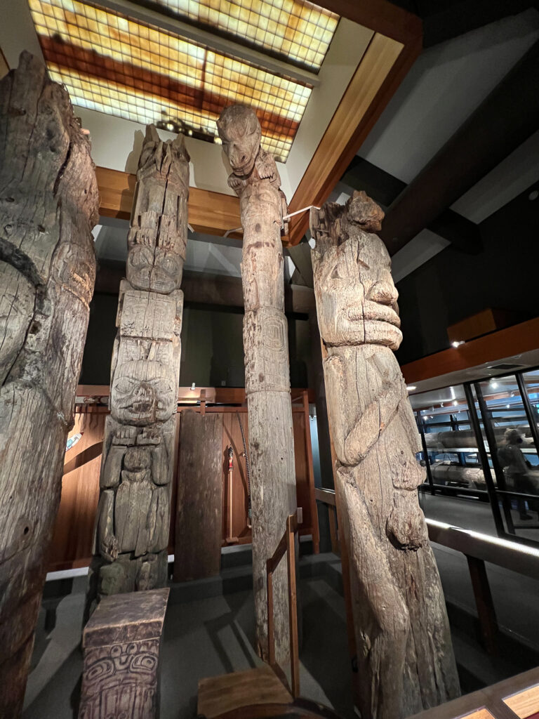
Our time with Tracy ended at the Totem Heritage Center, which houses totem poles which had deteriorated beyond usefulness. In many cases, the poles were in towns that no longer had an active Native population, and some of the poles had been “acquired” by non-Native groups before being rescued by the Center.
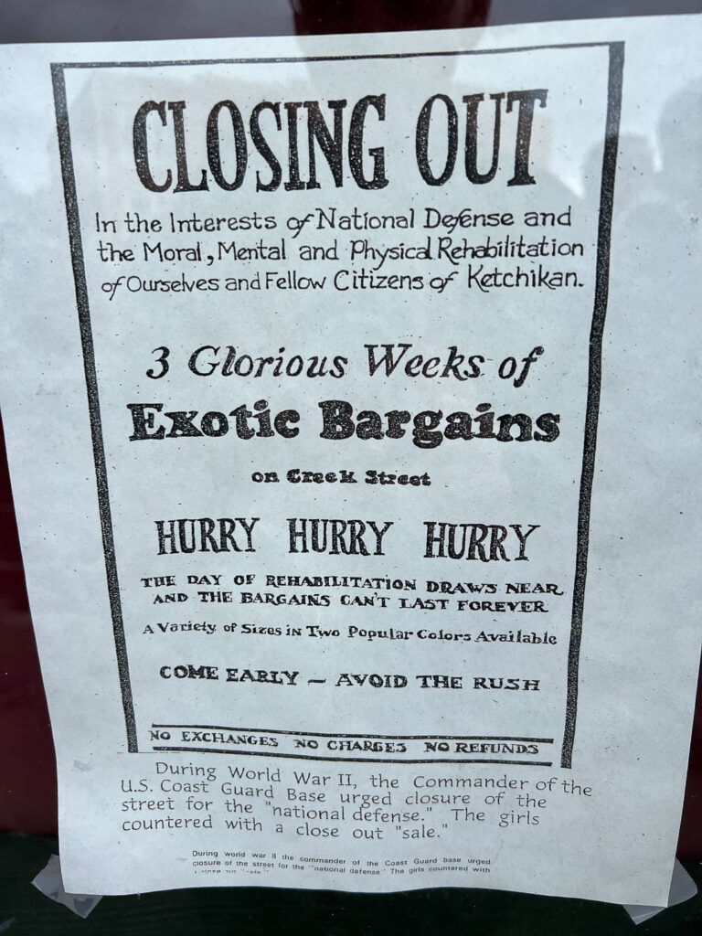
Next, we visited Creek Street (where salmon and fishermen come to spawn); Dolly’s House was closed, but the windows had a few exhibits relating to the past.
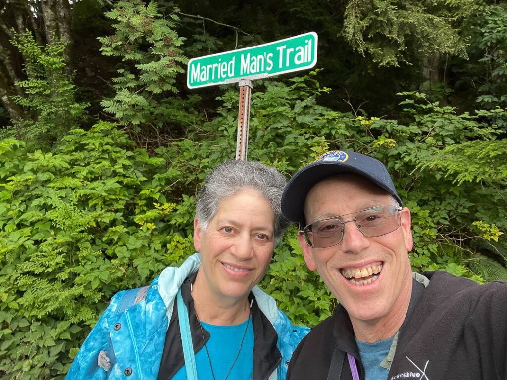
Married Man’s Trail is at the top end of Creek Street; the name comes from its use in letting married men visit the establishments on Creek Street inconspicuously. I think I failed in being inconspicuous.
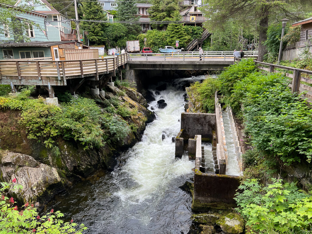
We walked up the trail as far as the fish ladder; it’s too early in the season to find any fish there.
We returned to Creek Street and patronized some of the respectable tourist traps there before calling it a day and going back to the ship.

Next stop, Vancouver!
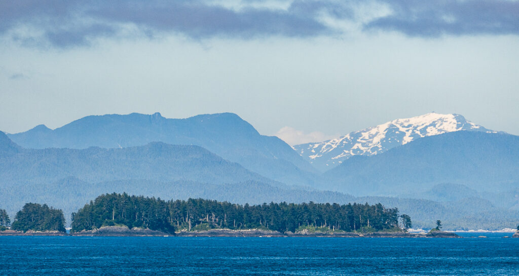
Sometimes you get the bear….

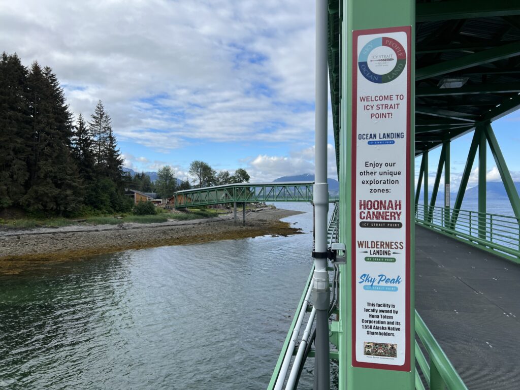
And today was one of those times. We took a bus tour from Icy Strait Point through the town of Hoonah to the Spassky River to go looking for wildlife, and we found bears.

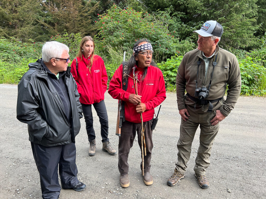
They take safety seriously; the first person we met when we got off the bus was the lead bear safety officer, George Dalton, Jr., a full-blooded Tlingit; he’s speaking with the two veterans in our tour group and thanking them for their service.

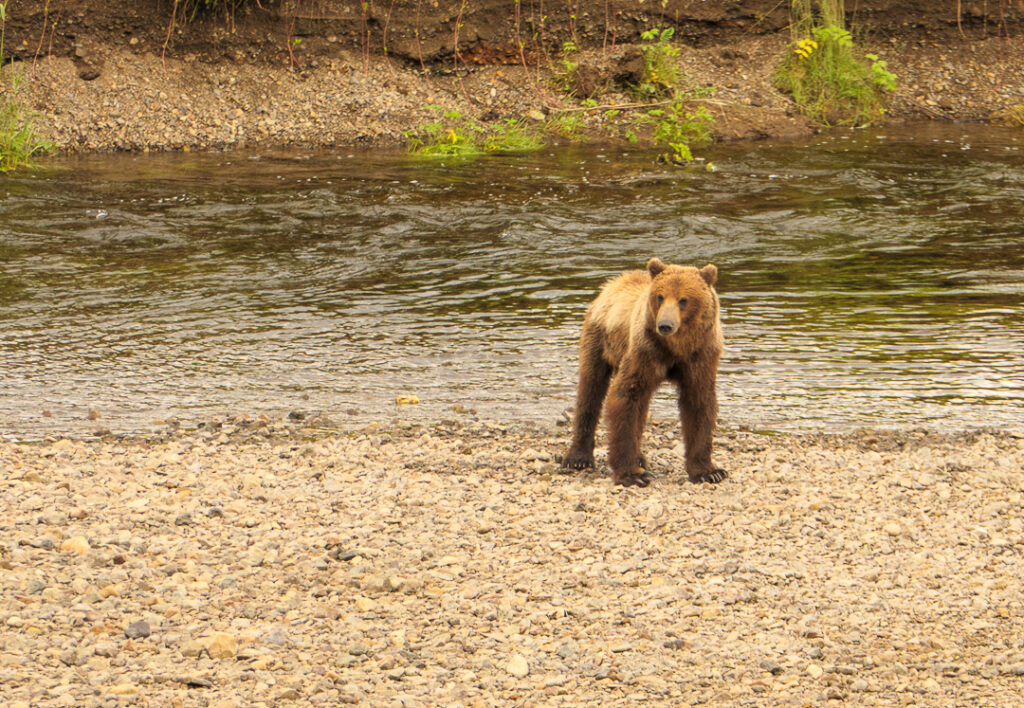
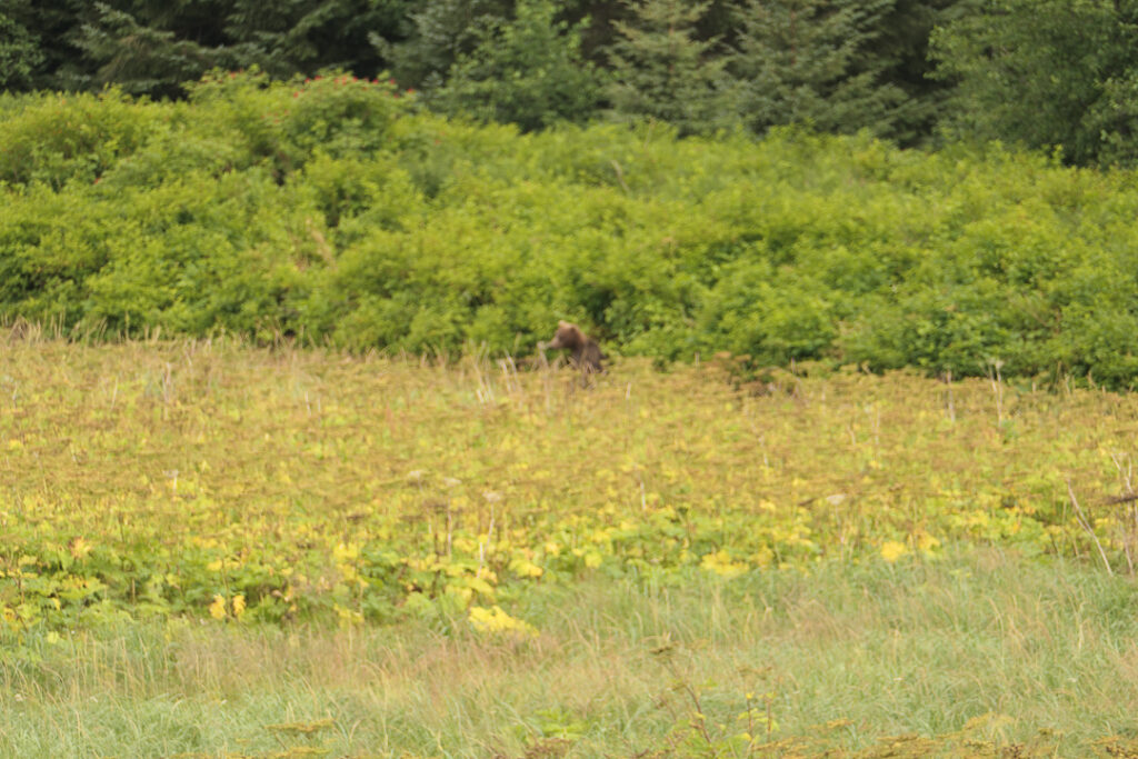
After George talked to us, our guide, Margaret, took us on a short walk to the first of three viewing platforms they’d set up near the river, and we saw two coastal brown bears (Kodiak bears) – one was easy to see and stayed around for many minutes; the other was fairly well hidden and hard to photograph for the couple of minutes it was visible at all.

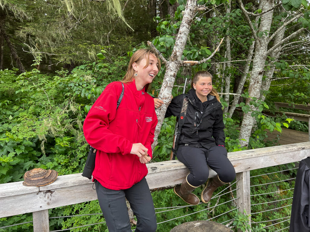
Our bear safety guide, Emma, never let us out of her sight.

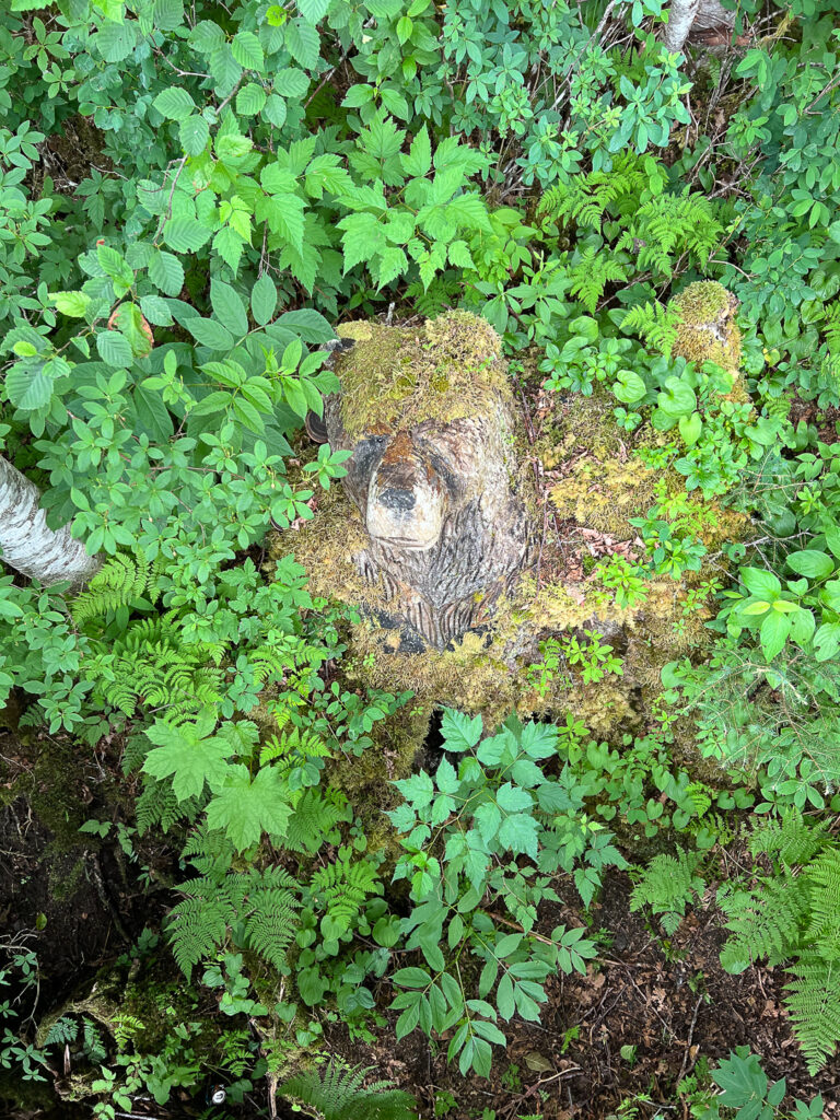
Emma said that she’d never even come close to having to use her rifle to protect a tour group. I was sure that she wouldn’t need to do it when we saw our third bear we saw wasn’t going to hurt us – our guide said it was “Travis, the guaranteed bear”.

After we took the bear tour, the bus dropped us right outside the Icy Strait Point Company Store. We survived that experience, too.

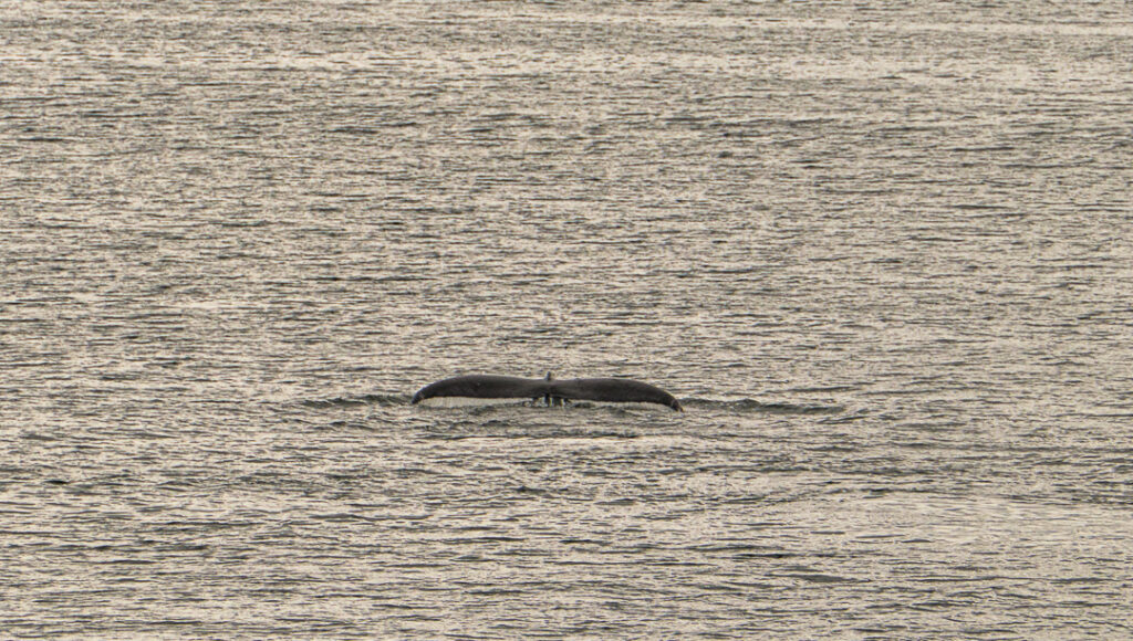
On our way back to the ship, we got a quick glimpse of the resident humpback, Frederick.

Connectivity is very tenuous tonight, so I’ll post this while it’s still possible to do so. Onward to Ketchikan!
Overcoming Connectivity Challenges in Skagway

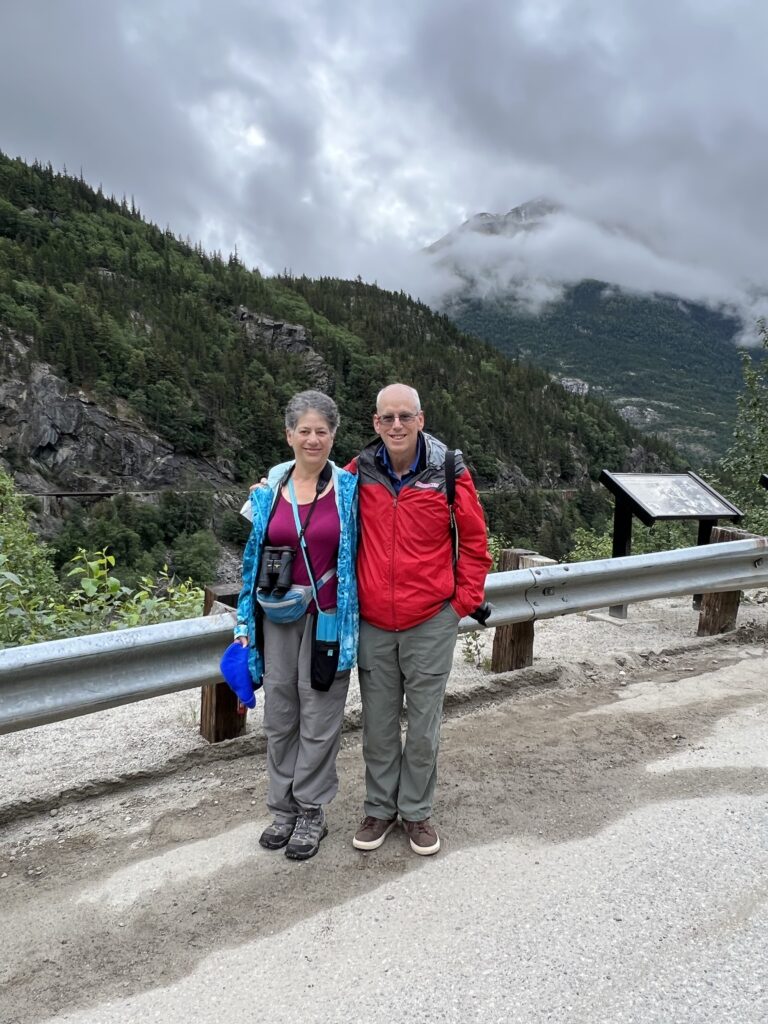
We’re in Skagway, Alaska, today and took a tour into the Yukon. We booked our tour with Thomas Pickerel from Skagway Yukon Custom Van Tours, so there were only four of us instead of a busload of our close personal friends. Tom was a great guide – he’s lived in the area for 40 years or so, so he was a fount of information and knew quite a few of the people we met along the way.

We didn’t see Sergeant Preston; in fact, we didn’t see any Mounties at all. We did see interesting and beautiful sights, though.

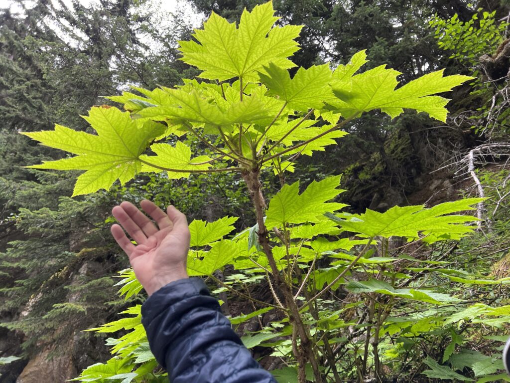
Devil’s Club can be very painful to encounter; it’s also the basis of various healing salves.
On the way out of Skagway
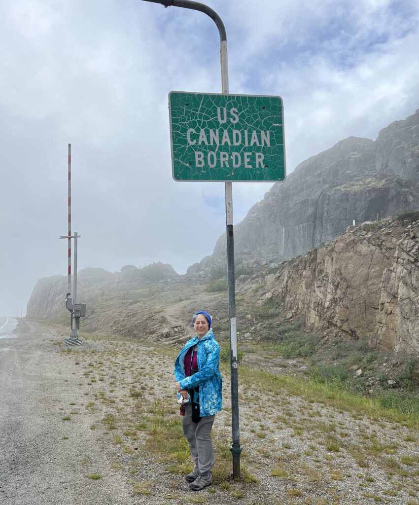
The border is here at the summit. US Customs is 8 miles south and Canadian Customs is 8 miles north.
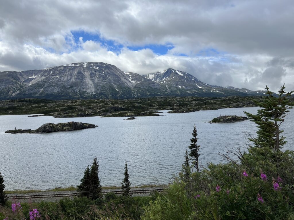
The weather got better the farther we went into Canada.
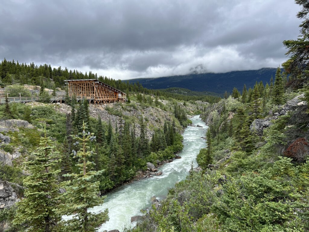
Our first stop in Canada was the Yukon Suspension Bridge; it’s actually in British Columbia.
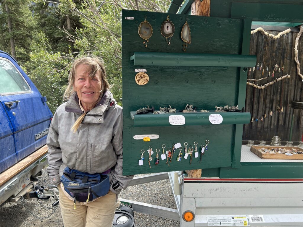
This is Jacqueline, the owner of Yukon Rustic Jewelry, and the only resident in this part of British Columbia. She set up her shop at the BC/Yukon border.
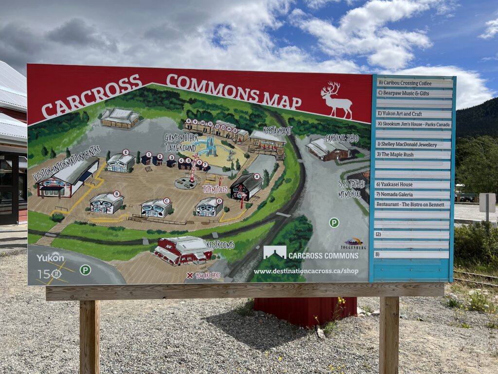
We stopped in Carcross,YT, for lunch, shopping, ice cream, and good internet connectivity.
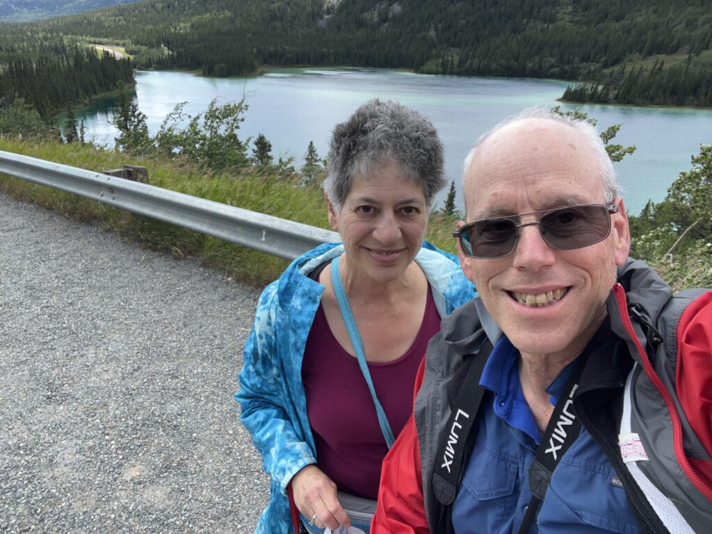
Our final stop in Canada was at Emerald Lake, just north of Carcross. Light reflecting from the limestone deposits on the lake bottom are the source of the green color.
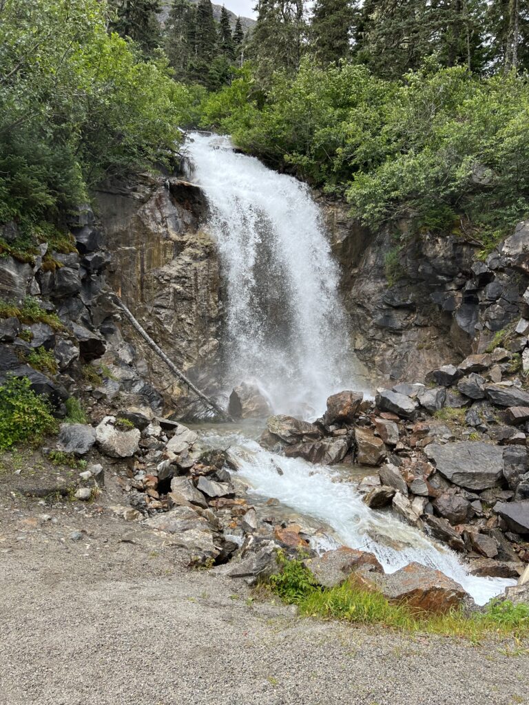
Our final stop before returning to Skagway was this waterfall on the US side of the summit.

We returned to Skagway and asked Thomas to drop us in town so we could explore more before retiring to the ship.

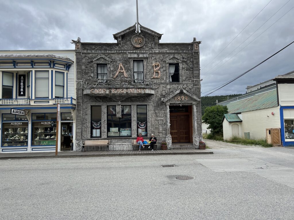
Our guide claimed this is the most-photographed building in Skagway. I’m willing to believe him.
We walked back to the ship after doing a bit of shopping in town; I also looked for good Internet connectivity with no success.

We’re back on the ship now; their Internet connectivity is non-existent but our friend is getting LTE from the land and I’m leeching from his connection. I’m hoping the ship’s connection will improve when we sail away, but I don’t want to bet on it.

Tomorrow, we go to Icy Strait Point; connectivity is not supposed to be good there either, but hope springs eternal!